UAV Inspection
Agriculture Inspection
Effective & efficient inspection solution for monitoring agriculture yield growth
The Work Flow
Efficient agriculture solutions for maximum yield growth.
01
Data Collection
Rapidly collect large amount of data and images on the site using drone technologies and aerial photography and/or videography
Data processing
Data processing and stitching utilizing the high resolution multi-angle photo captured with drone technologies for analysis
02
03
Analysis & Reporting
Analyze the data to provide useful insights such as land shape model, anomalies detection, elevation height, over-time site differences and more
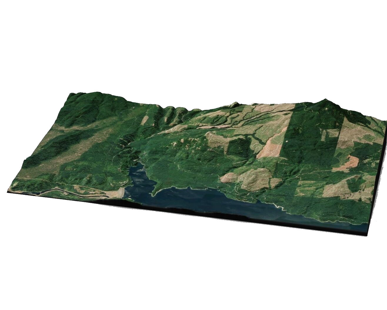
Sky View Of Your Plantation
- Large Area Coverage
- Swift & Rapid Data Collection with UAV
- Geo-Referenced Data
- High Resolution Image & photo
Application
Maximizing agriculture yield with inteligence end-to-end solutions with drone technologies
Precise Tree Counting
Intelligent and rapid tree counting with high preicision utilizing machine learning and artificial intelligence
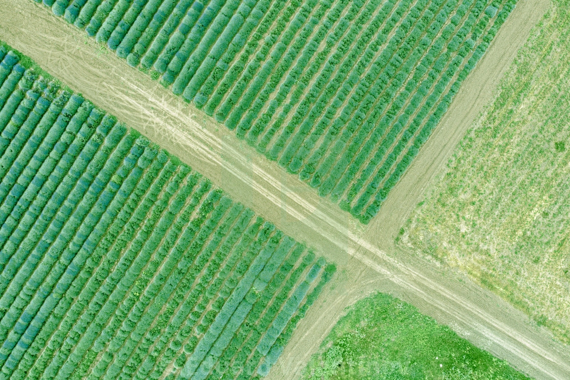
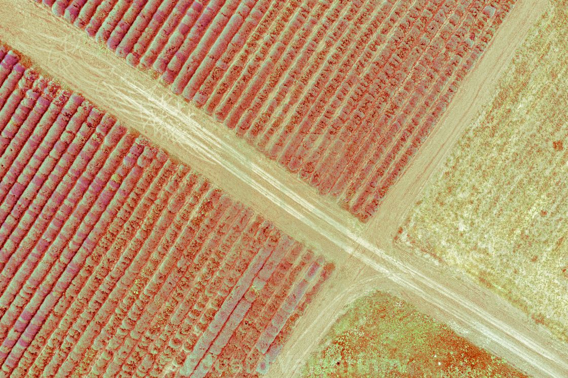
Crop Health Inspection
Distinguish between healthy and bad crops easily with high resolution geo-referenced image
Route Identification
Explore & highlight accessible route and road in the plantation area to enhance accessibility
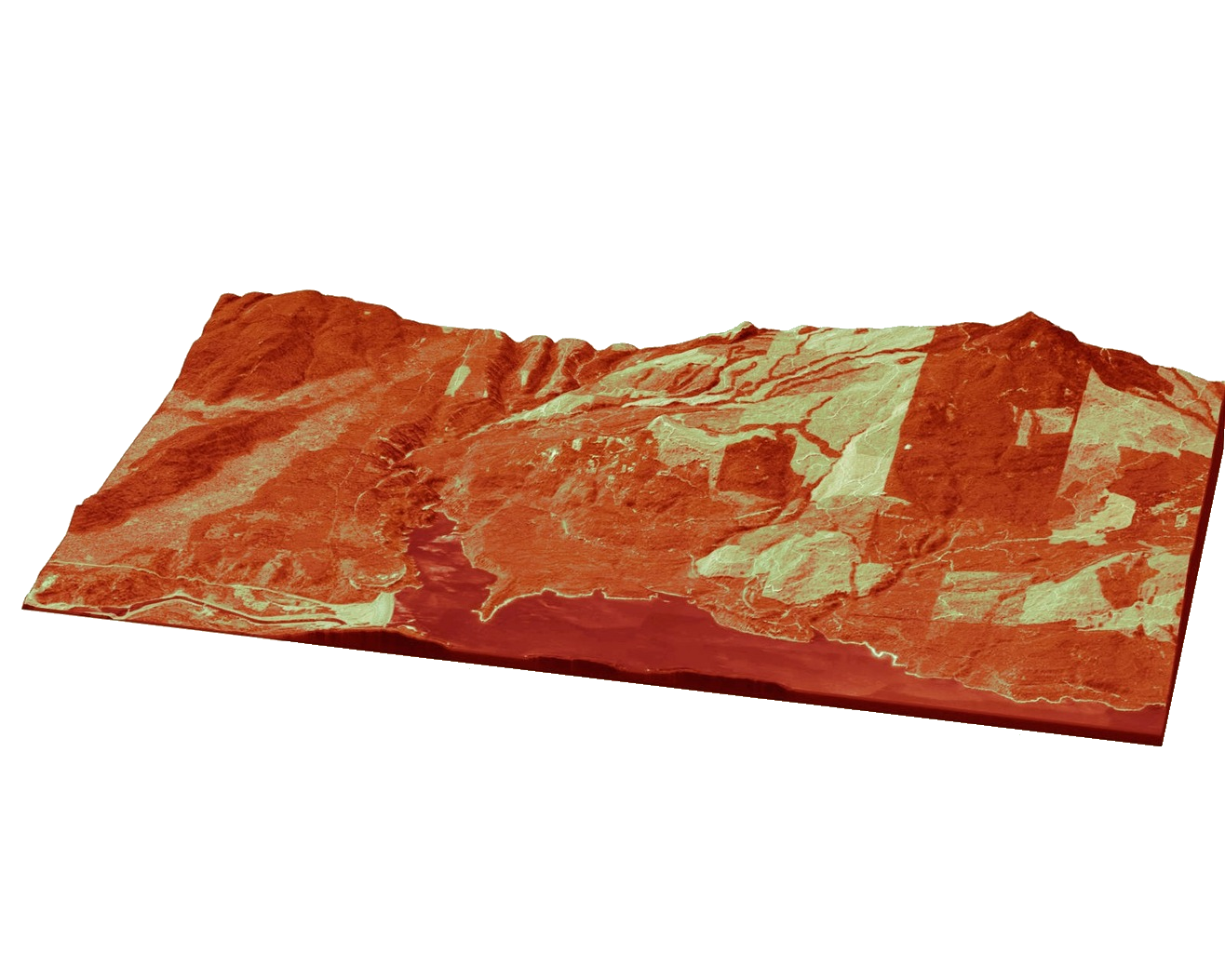
3D Landscape Modelling
- Precise Geo-Referenced Model
- Landscape Structure Analysis
- Accurate Landscape Model (Measuring Landscape area, volume, distance, height)
- Effective & Efficient Land Survey